


VERSATILE
Product Overview
Introduction
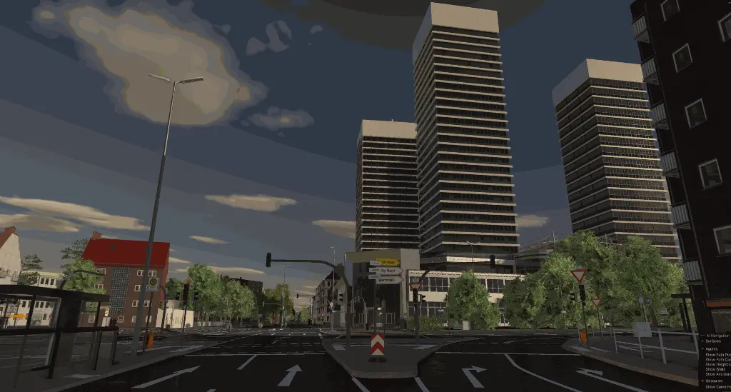
The Versatile Tool is a unified platform designed for creating, editing, and enhancing maps and 3D scenes in both 2D and 3D. It provides powerful yet intuitive tools for detailed map editing and scene enrichment, making it an essential resource for building realistic and functional environments.
Fully compliant with the ASAM OpenDRIVE road standard, the tool supports editing roads, lanes, junctions, objects, and signals while allowing users to enhance maps with 3D assets like buildings, trees, street lights, and other scene elements. The Versatile Tool ensures seamless integration with industry-standard platforms and offers versatile export options, including OpenDRIVE maps, FBX scene files, and compatibility with tools like ReplicaR, dSPACE and CARLA.
Background
The Versatile Tool was developed to streamline workflows by merging the functionalities of three previously separate tools:
MapEditor: Focused on creating and editing roads, lanes, junctions, objects, and signals for OpenDRIVE-compliant maps.
Scene Generator: Allowed users to generate 3D environments from OpenDRIVE maps and enhance them with a library of 3D assets.
Trajectory Editor: Supported importing real-world sensor data for simulation scenarios and editing actor trajectories.
By combining these tools into a single platform, the Versatile Tool simplifies processes, reduces complexity, and provides a more efficient workflow for editing and visualizing maps and scenes.
Purpose and Usage
The Versatile Tool is built to simplify complex workflows, improve efficiency, and deliver high-quality maps and scenes. It supports users across teams who need to create detailed environments for simulations, testing, or visualization.
Key Features
1. Comprehensive Map Editing
Road and Lane Editing: Intuitive tools for creating, modifying, and customizing roads and lanes.
Junction Creation: Design simple or complex junctions to suit your network requirements.
Object and Signal Placement: Add traffic signs, signals, and roadside objects with full control over their properties.
ASAM OpenDRIVE Support: Ensure maps meet industry standards for compatibility and export.
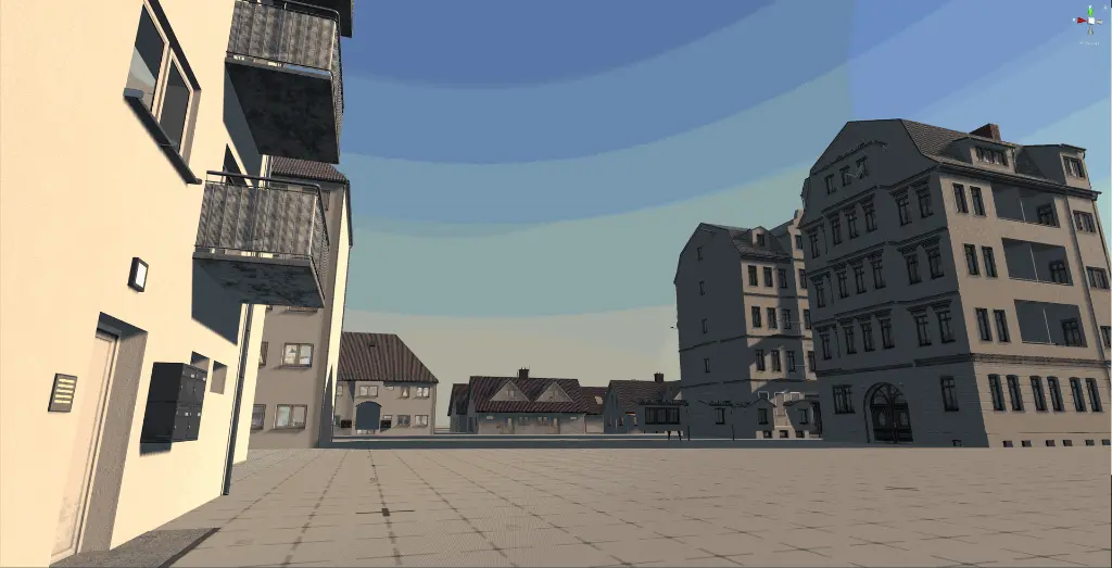
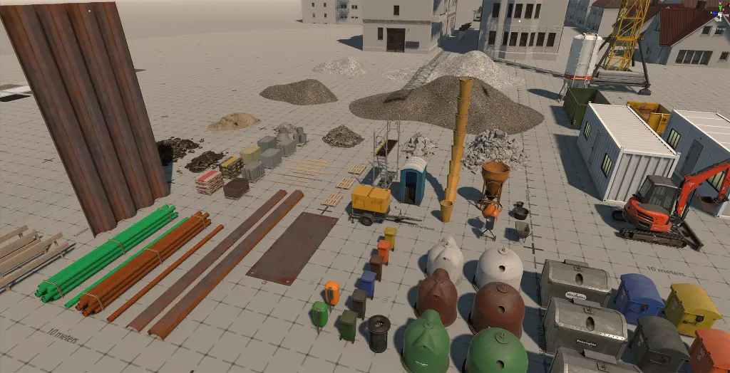
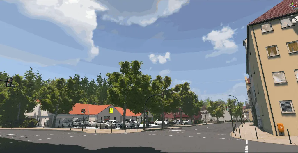
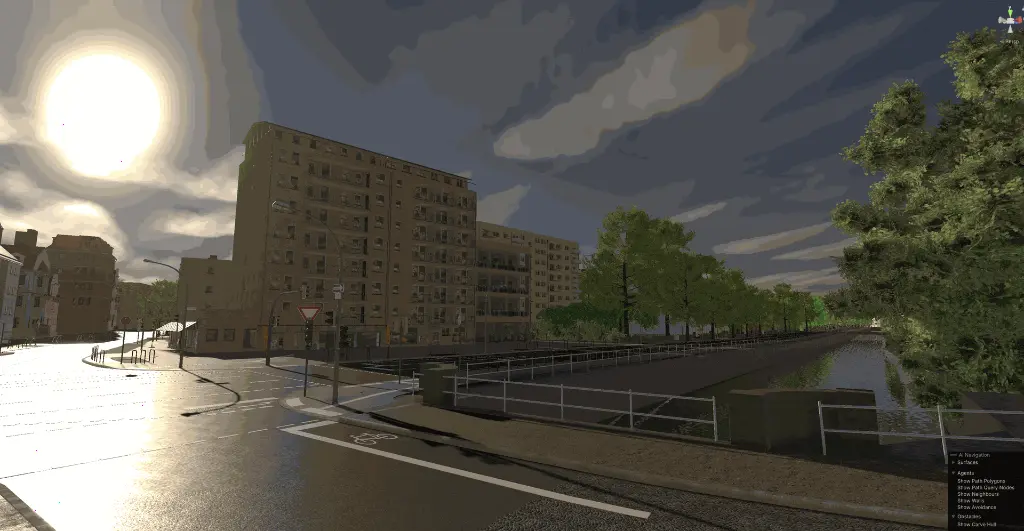
2. Scene Enrichment
3D Asset Library: Access a wide range of 3D models, including buildings, vegetation, and streetlights.
Scene Enhancement: Enrich your maps by placing and customizing 3D assets.
Realistic Textures and Materials: Apply materials to assets and terrain for an immersive experience.
3. Advanced Export Capabilities
Export to OpenDRIVE: Save maps in OpenDRIVE format for direct use in simulations.
Platform Compatibility: Export maps for use with simulation tools like dSPACE and CARLA.
FBX Scene Files: Export entire scenes as FBX files for further use in other 3D applications.
4. Additional Functionalities
GeoJSON Support: Import and edit GeoJSON files to integrate real-world geographic data.
Mapbox Integration: Leverage Mapbox for enhanced visualization and background imagery.
Sensor Data and Trajectory Editing: Load real-world sensor data, visualize actor trajectories, and make precise adjustments.
Pricing
| Monthly | 299.00 € | 299.00 € / month |
| Quarterly | 890.00 € | 296.67 € / month |
| Yearly | 3,500.00 € | 291.67 € / month |